Map layers
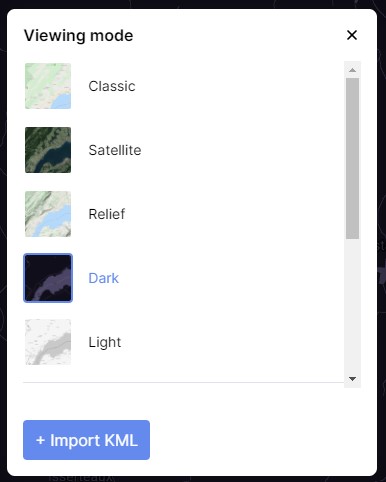
Multiple map types and layers are accessible on INVOLI.live. You can choose them by clicking the icon below:

Here are some different types of maps to explore:
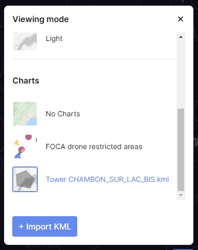
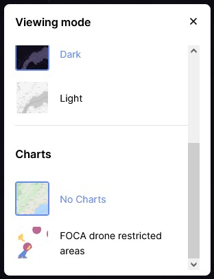
Users can import and overlay polygons (Charts) that represent no-fly zones (NFZ), control zones (CTR) surrounding airports, and more onto the maps. This feature can be toggled on or off through the layer control (refer to the image below). Currently, the zones for Switzerland have been integrated.
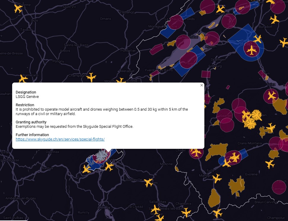
The image below illustrates a view of the western region of Switzerland.
Adding custom KML files
You have the option to enrich the map with polygons using a KML file. To proceed, click on "+Import KML". To show or hide the imported layer, just click on its name. The menu will only display polygons that have been uploaded by the user currently logged in.