Enhanced airplane information
Typically, INVOLI.live displays the data gathered by our receivers, but it does not include the results processed by the INVOLI MLAT algorithm. If you require access to the tracks generated by the MLAT algorithm for your specific needs, please reach out to our technical support team.
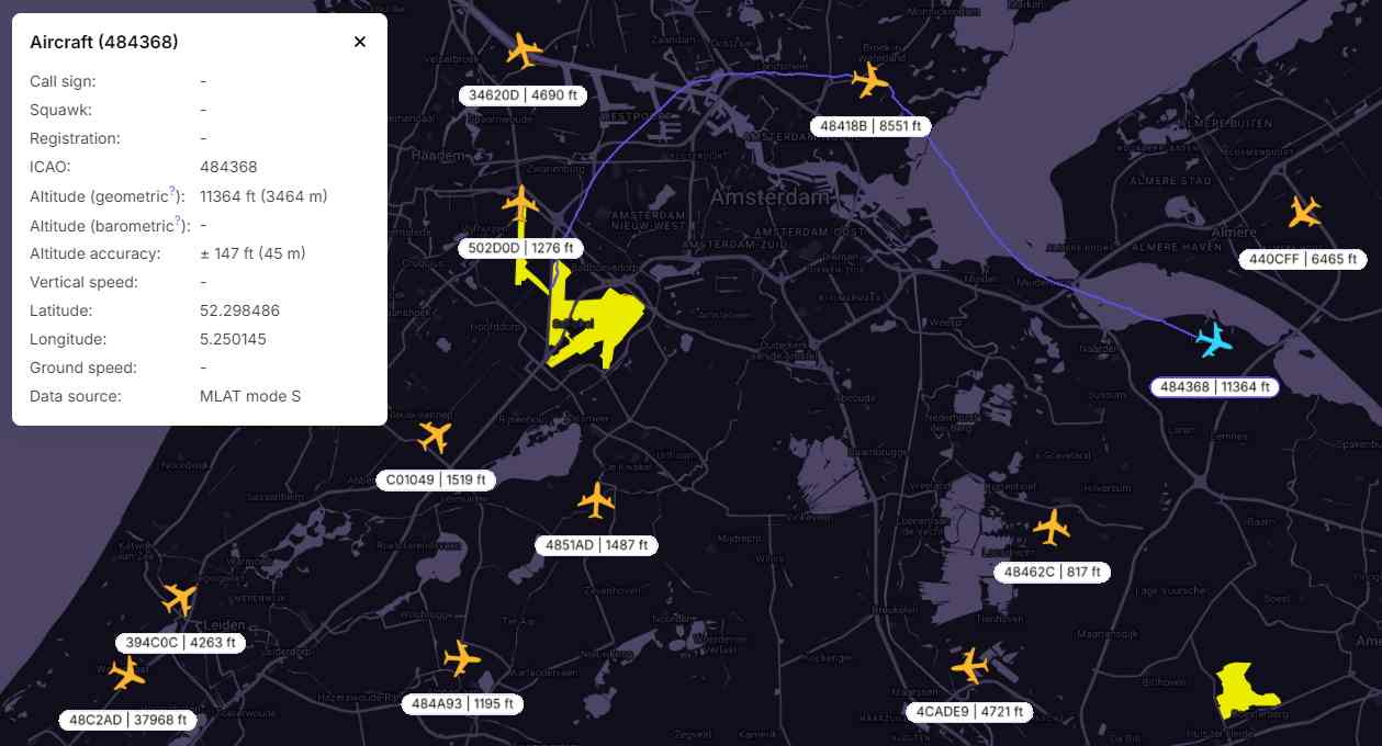
Once this option is activated, each flying aircraft will be displayed with several icons, indicating the different instances of the same object. Usually, you can expect to see two or three icons:
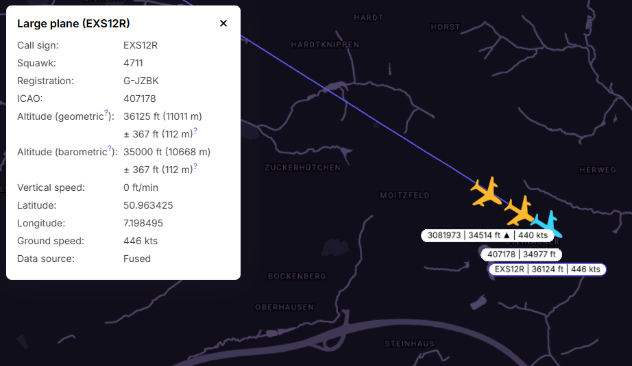
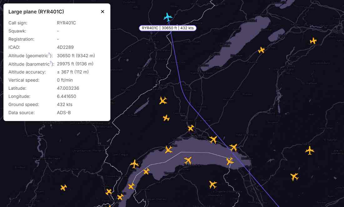
1) In the basic mode the icon shows the airplane and its track from the ADS-B, Flarm, or UAT message. The track line is smooth and drawn based on the GNSS measurements sent from the aircraft's transponder.
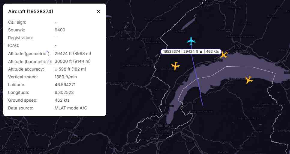
2) The aircraft icon and its trajectory generated from the Mode A/C signal. The barometric altitude is measured using the aircraft's altimeter, while the INVOLI MLAT algorithm processes and refines both the position data and geometric altitude. This post-processing results in a smooth line that typically corresponds closely with the track indicated by the ADS-B transponder. As the squawk ID is repeatable, a unique software-generated ID number (displayed in bold in the header) is used to identify the aircraft.
3) The graphic illustrating the aircraft and its flight path is generated from the received Mode-S signals. The altitude and horizontal position are determined using the INVOLI MLAT algorithm. The track line may appear somewhat jagged due to inaccuracies in the positioning calculations, but it is expected to closely follow the ADS-B track when it is avaiable.